The City of Riverside’s Economic Development’s GrowRiverside effort is striving to improve food availability. The following Interactive map includes various economic parameters defined by the USDA to identify where “Food Deserts” and food access can be improved.
About the Data
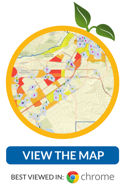 This data was compiled in conjunction with the City of Riverside Staff, as part of Josphat Mutunga’s Master Thesis for the University of Redlands program in 2017. Map layers represent areas in the City of Riverside that meet USDA criteria for “Food Deserts”.
What is a Food Desert?
A Food Desert is an area in which residents live more than .3 miles from a food store and the median household income is equal to or less than 80% of the citywide median. In the City of Riverside where the median household income was $54,444 in 2016, a Food Desert is defined by the area’s distance from food stores and having a Median Household Income of $43,000 or less.
What is a Food Store?
For the purposes of this map, a food store is a location where food is available for sale to the public including retailers, food pantries and farmers markets. It does not include community gardens or any other source where access is in some way restricted to the general public.